Valley of Flowers National Park, Uttarakhand: Peak July Trekking & Flora Guide
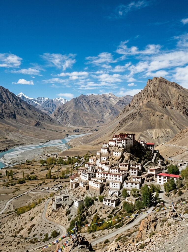
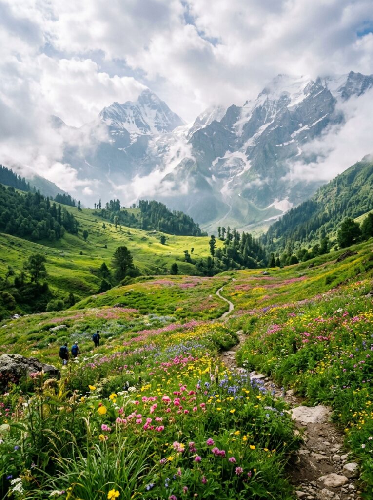
Imagine standing at an altitude of 3,658 meters in the heart of the Western Himalayas, surrounded by a vibrant, endless carpet of blue, pink, purple, and yellow alpine flowers. Mist floats gently across the meadows, snow-capped peaks tower in the background, and the crisp mountain air is filled with the fresh scent of wild blossoms and rain. This is the Valley of Flowers National Park in Uttarakhand, a UNESCO World Heritage Site that transforms into a real-life botanical fairy tale during the monsoon season. While the park is open from June to September, July is widely considered the absolute best time to visit. It is when the monsoon rains breathe life into the dormant seeds, initiating the peak blooming season. If you are an adventure enthusiast, nature photographer, or someone looking to cross off one of the world’s most beautiful treks from your bucket list, this is your ultimate guide. In this comprehensive guide, we cover everything you need to plan your Valley of Flowers trek in July—including a detailed day-by-day itinerary, essential safety guidelines, flora highlights, and expert packing tips. — Valley of Flowers Trek: Quick Facts Before diving into the detailed itinerary, here is a quick overview of the trek to help you prepare: Parameter Details :— :— Location Chamoli District, Uttarakhand, India Altitude 3,658 meters (12,000 feet) to 4,389 meters (14,400 feet) at Hemkund Sahib Trek Distance Approximately 38 km (round trip from Govindghat) Difficulty Level Moderate (Suitable for beginners with good physical fitness) Best Time to Visit July to August (Peak blooming period) Base Camp Ghangaria (a small village with basic hotels and guesthouses) Nearest Railway Station Yog Nagari Rishikesh Railway Station (YNRK) – 273 km from Govindghat Nearest Airport Jolly Grant Airport, Dehradun – 290 km from Govindghat — Peak Flora: What Blooms in the Valley in July? The Valley of Flowers is home to over 500 species of wild alpine flowers. The landscape changes its colors every few weeks as different species bloom and fade. In July, the valley shifts from green to shades of blue, pink, and white. Here are the iconic flowers you can spot during your July trek: Himalayan Blue Poppy (*Meconopsis aculeata*): Often called the “Queen of Himalayan Flowers,” this rare, striking blue flower with delicate petals is a prized sight for trekkers in July. Brahmakamal (*Saussurea obvallata*): The state flower of Uttarakhand, usually found at higher altitudes (above 4,000 meters) on the way to Hemkund Sahib. It blooms in late July and holds deep religious significance. Himalayan Bellflower (*Campanula latifolia*): Beautiful bell-shaped violet-blue flowers that line the trails in dense clusters. Himalayan Marsh Orchid (*Dactylorhiza hatagirea*): Locally known as *Hathajari*, this medicinal orchid blooms with bright purple spikes. Sunflowers and Daisies: Vast fields of golden wild sunflowers (*Senecio*) and white anemones paint the meadow, contrasting beautifully with the grey monsoon skies. — Detailed 6-Day Valley of Flowers Trek Itinerary This carefully curated 6-day itinerary is designed to give you ample time for acclimatization, exploration, and safety, starting and ending in the spiritual hub of Rishikesh. Day 1: Rishikesh to Govindghat (Drive: 273 km | 9–10 hours) Your Himalayan adventure begins with an early morning drive from Rishikesh. The route follows the Alaknanda and Ganga rivers, taking you through the holy confluences (Panch Prayag)—Devprayag, Rudraprayag, and Karnaprayag. Scenic Highlights: Watch the dramatic meeting of the Bhagirathi and Alaknanda rivers at Devprayag, where the holy Ganges is officially formed. Road Conditions: The roads are generally well-maintained, but monsoon showers can cause occasional delays due to minor landslides. Evening: Reach Govindghat, a bustling town situated on the banks of the Alaknanda River. Check into your hotel, attend a brief orientation, and enjoy a warm dinner. Overnight Stay: Hotel in Govindghat. Day 2: Govindghat to Ghangaria via Pulna (Drive: 4 km | Trek: 10 km | 5–6 hours) Wake up to the sound of roaring rivers. After a hearty breakfast, take a short 4 km drive to Pulna village, which is the starting point of the trek. The Trek: The trail from Pulna to Ghangaria is a well-paved stone path that runs parallel to the gushing Laxman Ganga river. The trail is clean, shaded by dense pine and oak forests, and dotted with small dhabas selling hot tea, Maggi, and fresh fruits. Ghangaria Base Camp: Ghangaria is a scenic hamlet that serves as the base camp for both the Valley of Flowers and the holy shrine of Hemkund Sahib. No vehicles are allowed past this point. Alternative Transport: If you prefer not to walk, mules, porters, and helicopter services (subject to weather conditions) are available from Govindghat/Pulna to Ghangaria. Overnight Stay: Guesthouse/Hotel in Ghangaria. Day 3: Ghangaria to Valley of Flowers and Back (Trek: 8 km round trip | 6–7 hours) Today is the day you’ve been waiting for! Start your day by 7:00 AM to make the most of the clear morning weather. Entering the Park: Cross the Laxman Ganga bridge and clear the Forest Department checkpoint. The trail immediately narrows, winding through dense forests of birch and rhododendrons before opening up into the wide-open glacial valley. Exploring the Valley: Once inside the valley, the trail becomes relatively flat. You can walk for kilometers amidst towering mountains, waterfalls cascading down rock faces, and millions of blooming flowers. Do not miss the grave of Joan Margaret Legge, a British botanist who lost her life here in 1939 while studying the flora. Important Rule: Camping or staying overnight inside the National Park is strictly prohibited. You must start your return trek to Ghangaria by 2:00 PM to cross the exit gate before dark. Overnight Stay: Guesthouse/Hotel in Ghangaria. Day 4: Ghangaria to Shri Hemkund Sahib and Back (Trek: 12 km round trip | 7–8 hours) Prepare yourself for a steep climb today as you visit Hemkund Sahib, the highest Gurudwara in the world, situated next to a pristine glacial lake at 4,329 meters. The Trail: The trail is a steep zig-zag stone pathway. Take slow, steady steps to cope with the thin mountain